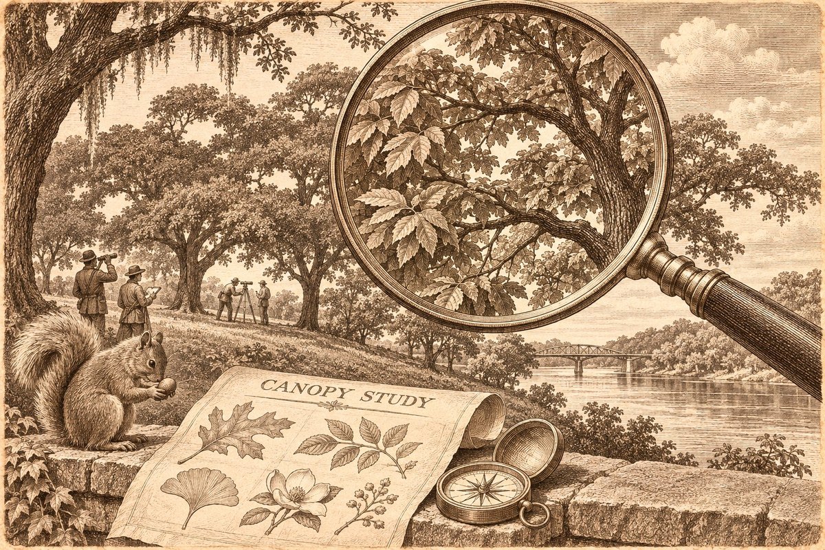
North Augusta is preparing to take a new inventory of its tree canopy, seeking a clearer picture of how development and Hurricane Helene changed the city’s shade and where replacement trees could do the most good.
Proposals for the mapping project are due Thursday, Nov. 12. The city’s request for proposals says its last assessment, conducted in 2022, found tree canopy covering 50 percent of the city. It describes significant losses since then from land cleared for approved development and from the September 2024 hurricane.
The solicitation does not give a current canopy percentage or a measured share lost to the storm. Establishing the updated picture is part of the work being sought.
For residents, the useful result would extend beyond a before-and-after number. The city wants maps of suitable planting areas, estimates of the benefits trees provide and a recommended canopy goal to guide future replanting efforts and grant applications.
Where new trees could fit
The scope calls for a citywide land-cover analysis that distinguishes trees from shrubs and other vegetation, buildings, pavement, bare ground and water. The consultant would calculate canopy acreage and percentages for the city and smaller geographic areas.
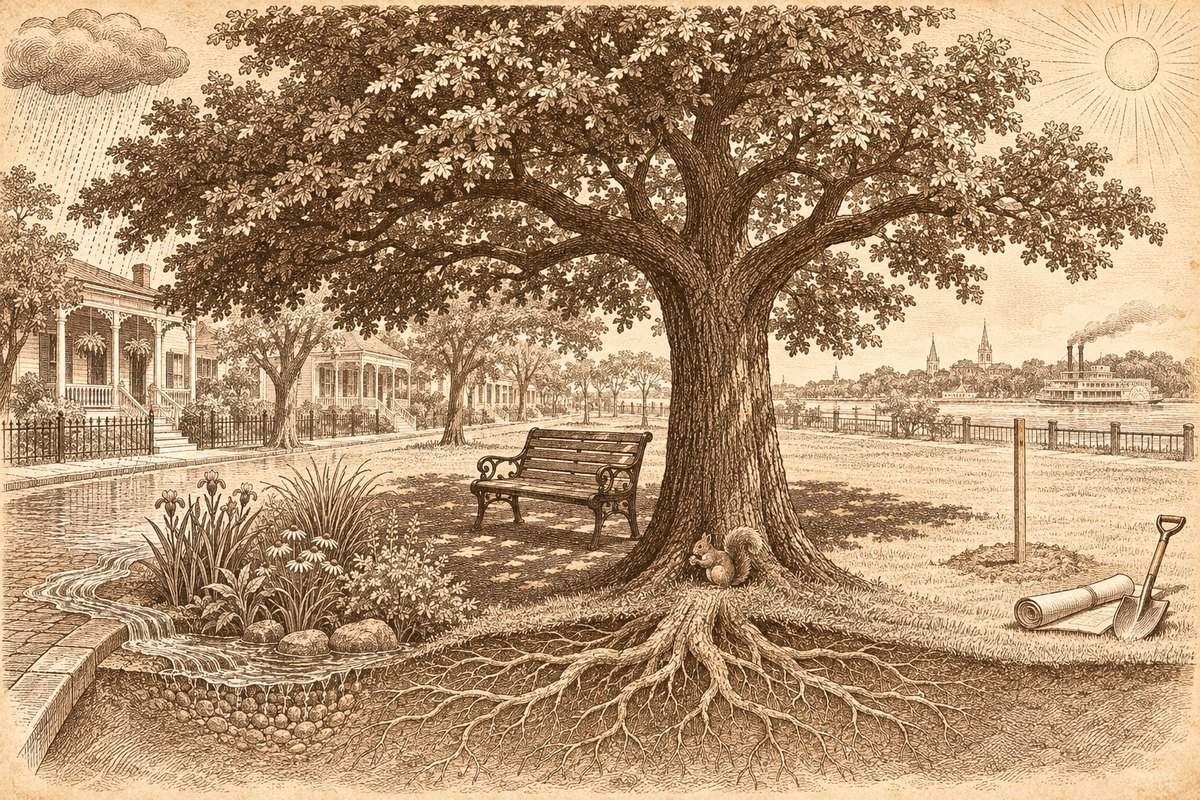
The planting map would also account for places where a tree does not belong. The RFP specifically names sports fields and utility conflicts as examples of areas to exclude. Suitable locations may be ranked by potential benefits such as reducing heat or helping manage stormwater.
A new canopy goal is more useful when paired with places where trees can grow and where their shade or water-management benefits are most needed.
The requested assessment also includes estimates of ecosystem services, potentially covering stormwater, air quality, carbon sequestration and heat reduction.
The imagery has to answer a current question
The RFP calls for the most recent available four-band aerial imagery and the use of LiDAR or other tools to help distinguish trees from shorter vegetation. LiDAR data can help distinguish taller trees from shorter vegetation.
An Oct. 22 addendum allows the use of publicly available 2019 LiDAR. It also says onsite field verification is not mandatory and accepts an independently sampled, image-based validation method. The minimum overall mapping accuracy is 90 percent.
The permission to use that older height data does not establish the date of the aerial images that a contractor will use. The selected approach will need to explain how it captures the post-Helene landscape and how the result can be compared fairly with the 2022 assessment.
The city says it will provide the earlier assessment and its underlying data, along with GIS base layers. That gives the new contractor material to work from, but the completed report will still need to make its imagery dates, methods and limits clear.
A study first, then planting decisions
The procurement notice says the work is funded wholly or partly through the South Carolina Forestry Commission. When a bidder asked the city to disclose the project budget, the addendum declined to provide it at that time.
The RFP’s tentative schedule anticipates a contract award Nov. 23 and completion Feb. 16, 2027. A notice-to-proceed date remains to be determined. The contractor would present draft maps and data to city staff, address their comments and turn over the completed work to the city.
Those are milestones for the assessment. The solicitation does not award a tree-planting contract or establish when residents will see replacement trees in a particular street or park.
The Oct. 22 addendum sets a 2 p.m. Nov. 12 submission deadline and says it supersedes conflicting earlier instructions. The RFP still displays 2:30 p.m. Firms should confirm the current deadline with the city’s procurement contact, Donna Costello, at 803-441-4343, rather than rely on the later time.
For the wider community, the next question is what North Augusta does with the maps: which locations it prioritizes, what planting money it secures and how it maintains the trees long enough for the canopy to return.